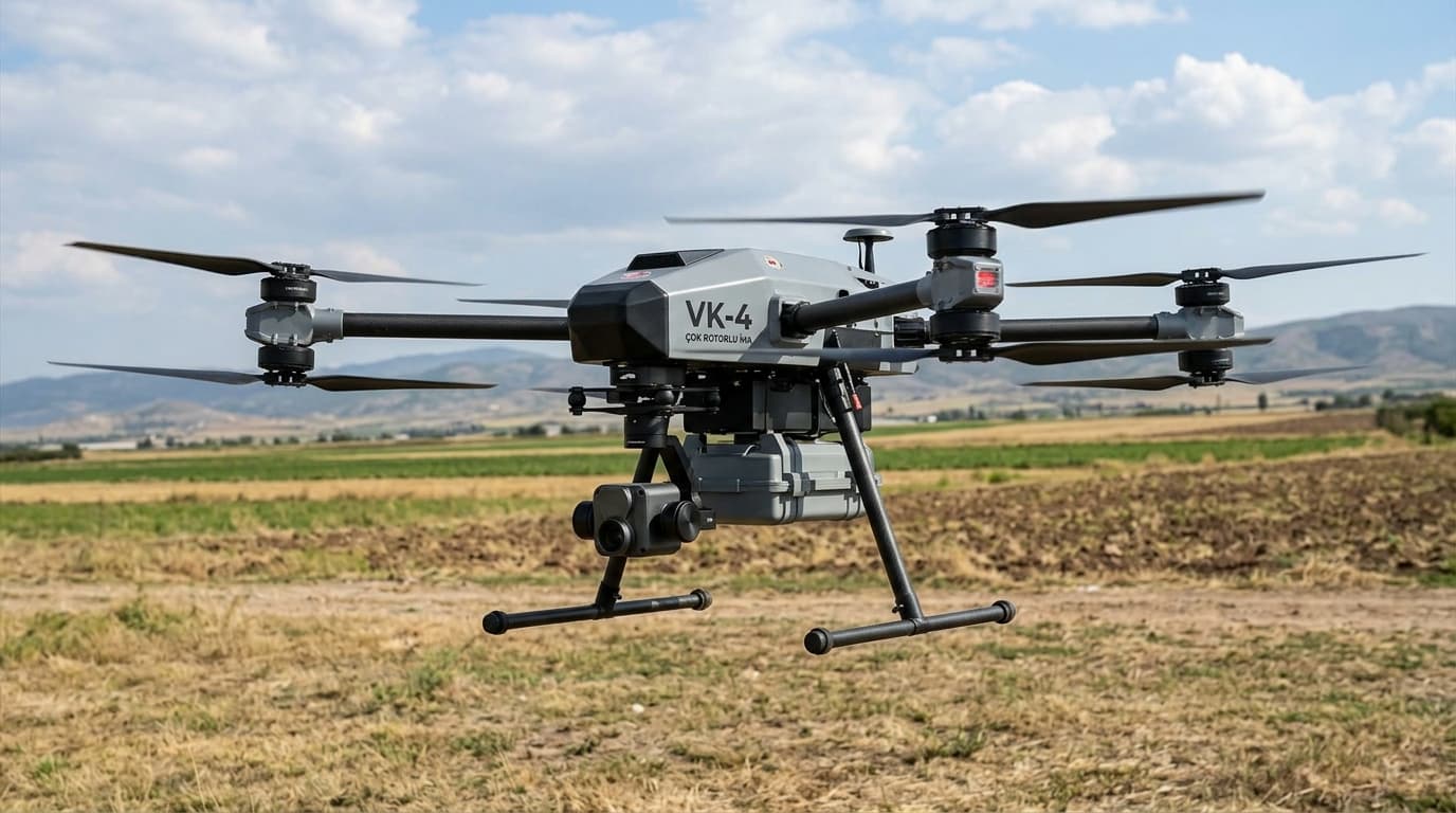
VK-4
Multirotor
Three flight platforms, four sensor payloads and a single data pipeline. The mission profile decides which combination flies.
Multirotor
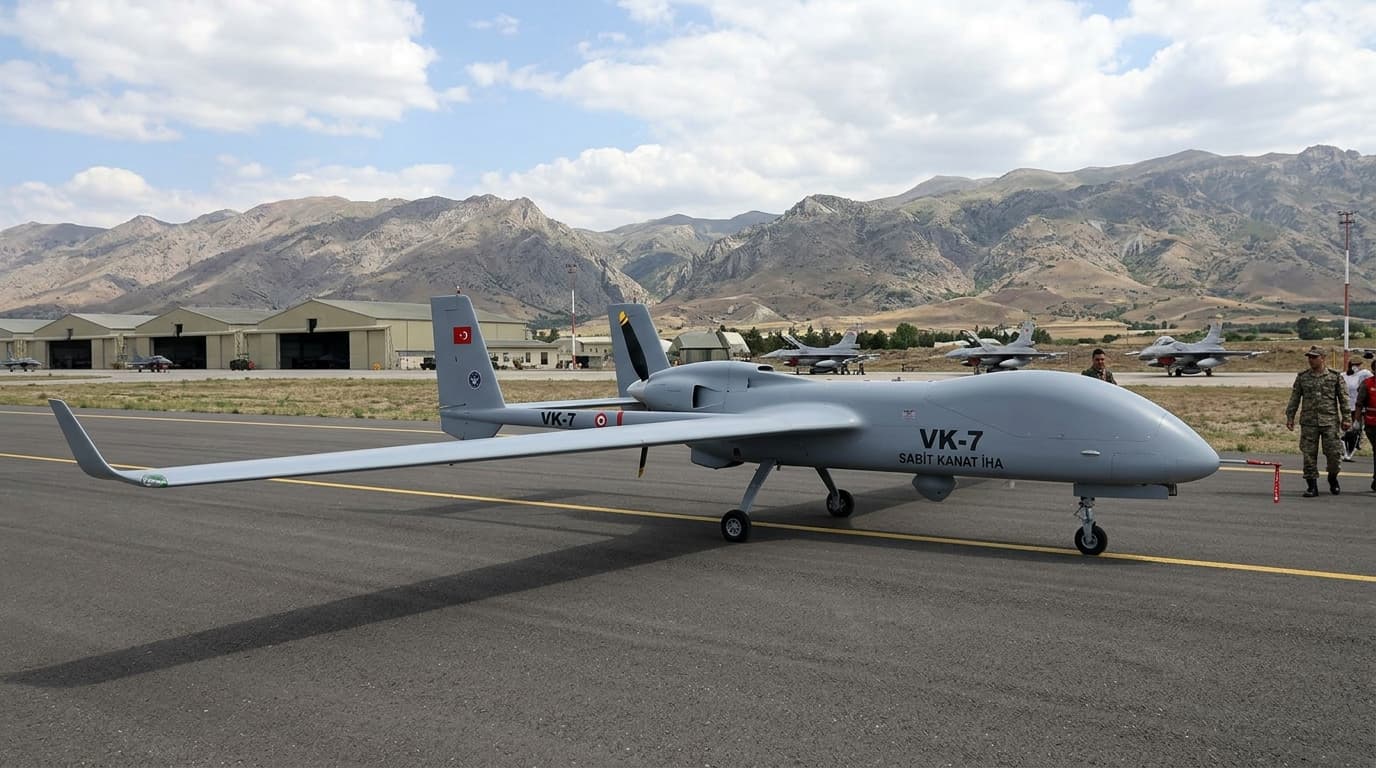
Fixed wing
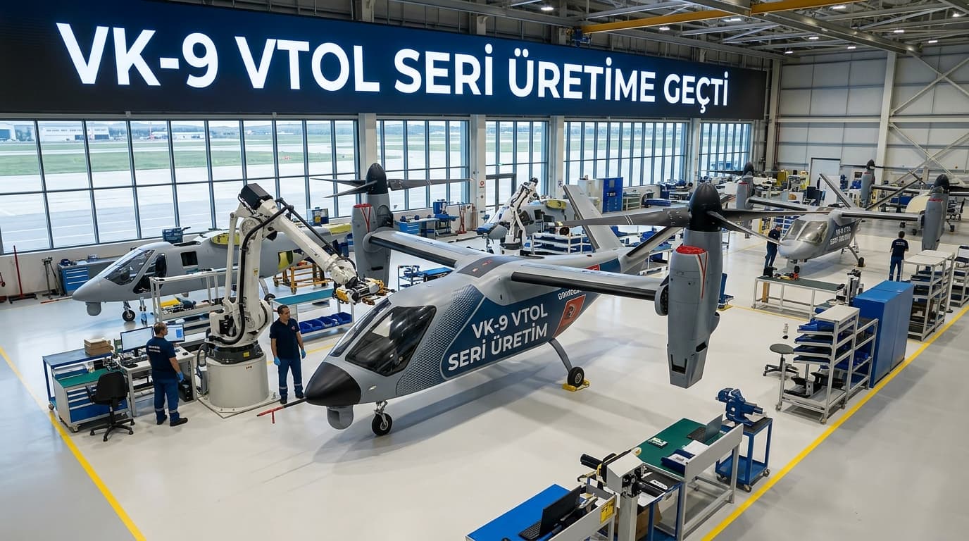
VTOL
| Property | VK-4 · Multirotor | VK-7 · Fixed wing | VK-9 · VTOL |
|---|---|---|---|
| Endurance | 42 min | 180 min | 120 min |
| Telemetry range | 8 km | 60 km | 40 km |
| Payload | 6.0 kg | 2.5 kg | 4.0 kg |
| Positional accuracy | ±2 cm | ±3 cm | ±2 cm |
| Wind tolerance | 12 m/s | 14 m/s | 16 m/s |
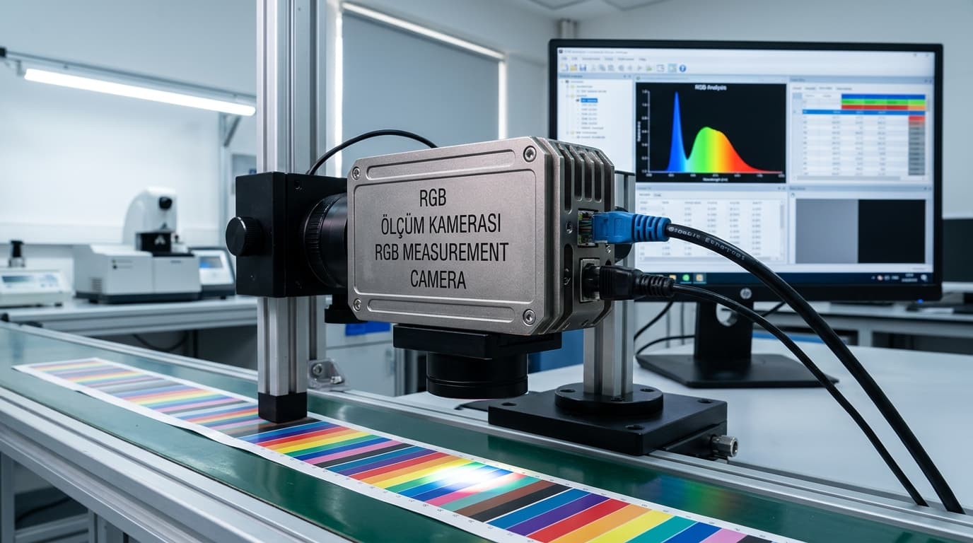
61 MP full frame with mechanical shutter. The standard payload for photogrammetry and progress tracking.
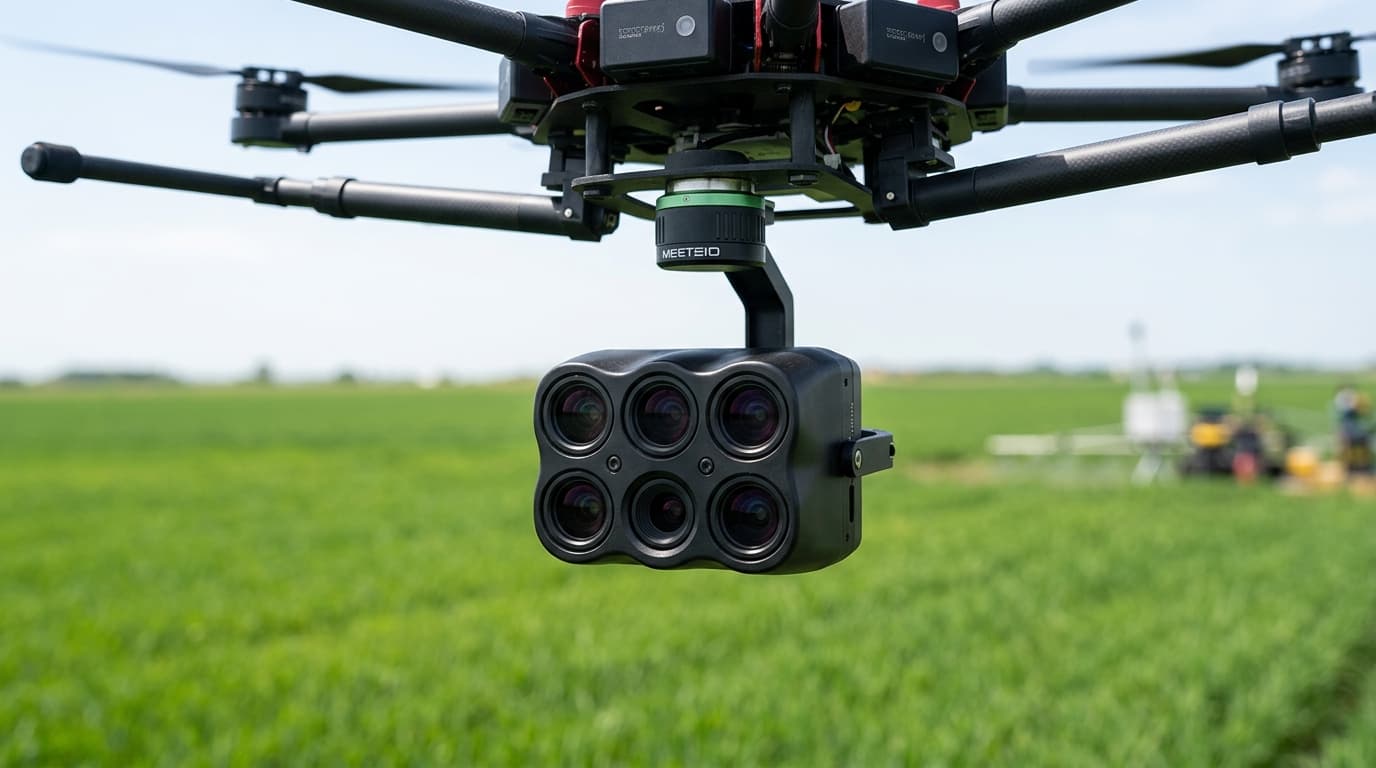
Five bands with an irradiance reference. Used for NDVI and crop stress maps.
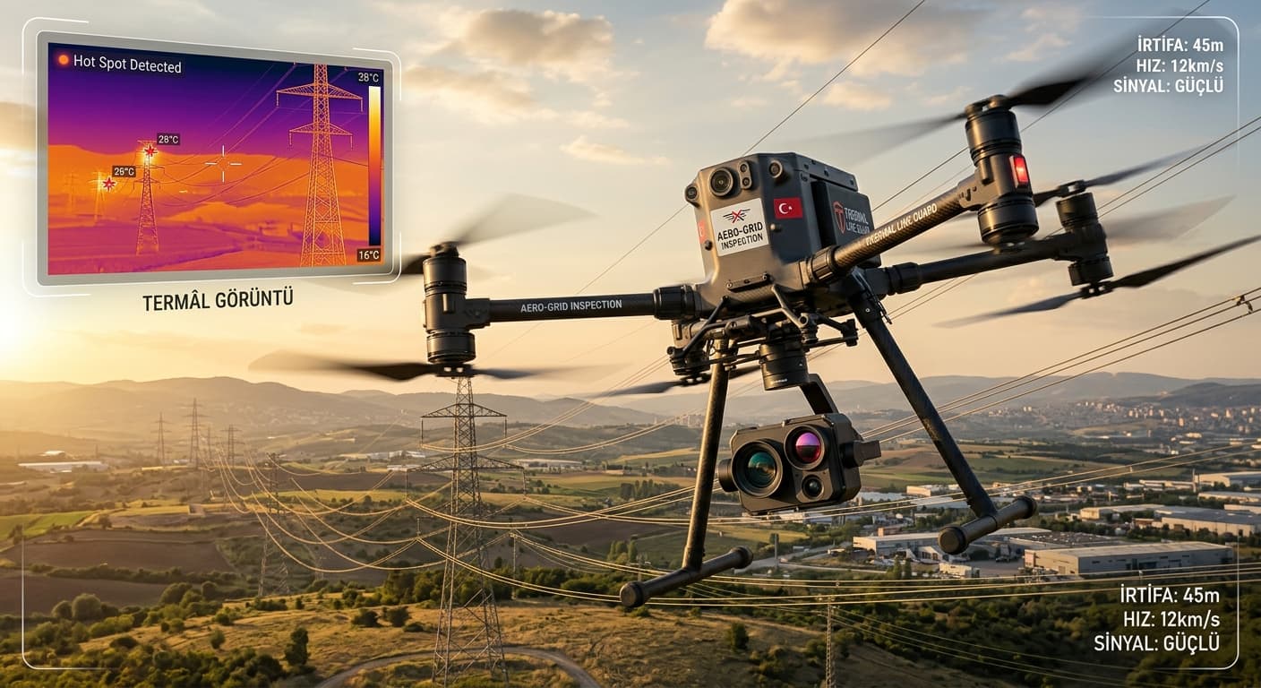
640×512, radiometric. For line inspection, fire detection and night search.
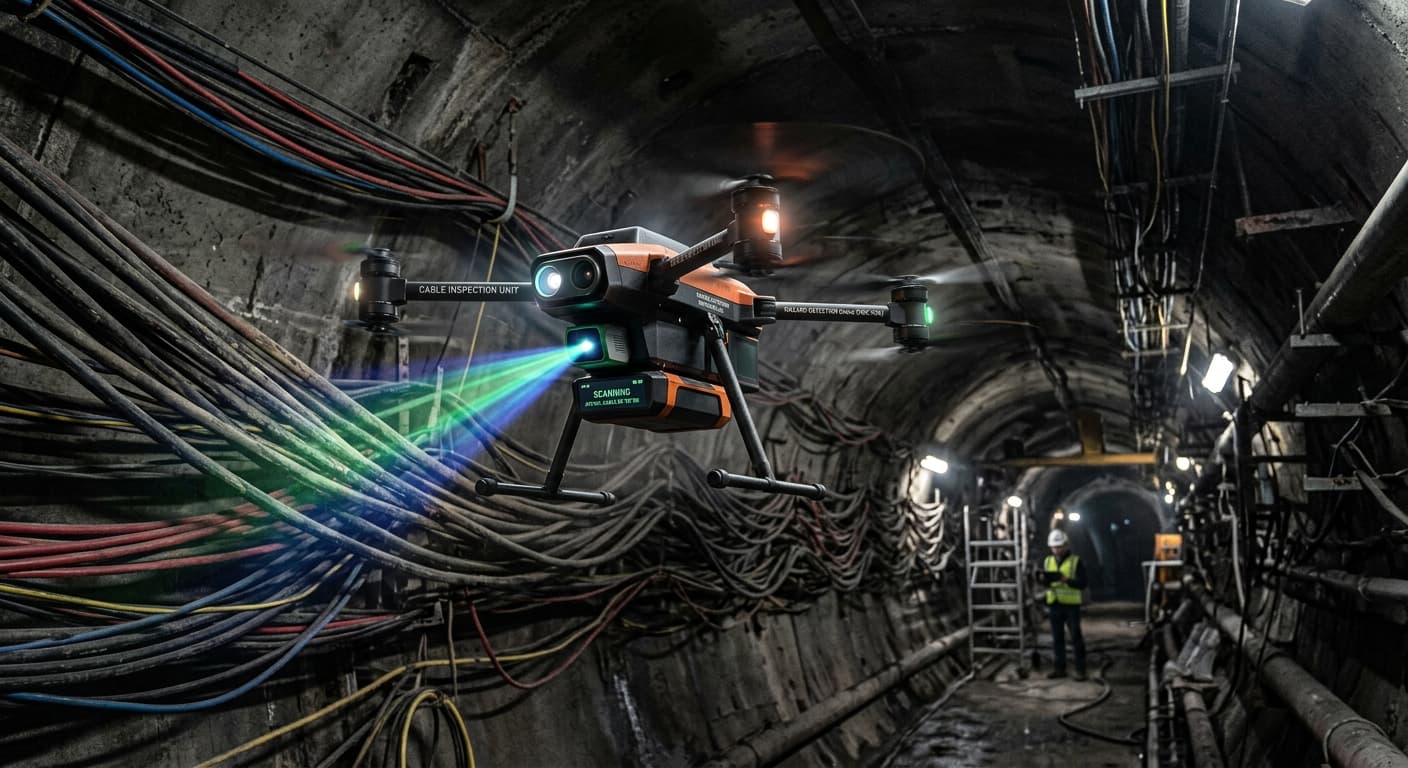
Dual-return scanner producing below-canopy terrain models and corridor cross-sections.
Autonomous line plans from a field or corridor boundary, with obstacle and altitude constraints written into the plan.
Orthophoto, elevation model and point cloud production, with an accuracy report attached automatically.
Outputs are archived with their coordinate system so they can be compared against earlier flights.